Oman encompasses 11 Governorates (Muhafazah).
Each Governorate includes several provinces (Wilayats).
Population figures for each Governorate are according to the National Centre for Statistics and Information. The last Census was conducted in 2020.
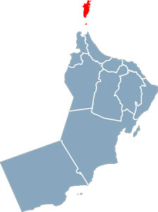
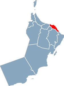
Musandam
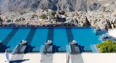
The Governorate of Musandam, located in the extreme north of the Sultanate faces the Strait of Hormuz, one of the world’s busiest shipping lanes.
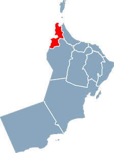
Al Buraimi
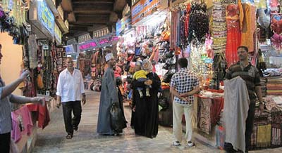
Buraimi Governorate lies on the border of Oman and the United Arab Emirates. It is distinguished by significant historical monuments such as forts and other archaeologically important sites.
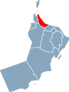
Al Batinah North
Al Batinah North occupies a vital geographical location on the northern coast of the Sultanate, overlooking the Sea of Oman. Situated about 200 kilometres from the capital Muscat, Sohar is the regional centre for the Governorate.
Al Batinah South
Al Batinah South, like Al Batinah North, is located on the north coast of the Sultanate of Oman, overlooking the Sea of Oman. Al Rustaq is the centre of the Governorate and is where the founder of the Albusaid dynasty, Imam Ahmad bin Said, was laid to rest.
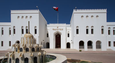
Muscat
Muscat was established as the capital of the Sultanate of Oman in 1793. The metropolitan area (Muscat Governorate) spans 3,500 square kilometres and includes six provinces (Wilayats) with a population of 1,521,006.
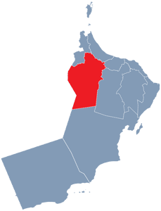
A’Dhahirah
A’Dhahirah Governorate is located in the north-western part of Oman. It is a semi-desert region, descending from the southern slopes of the western Al Hajar Mountains, and stretching towards the Empty Quarter desert region.
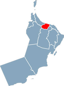
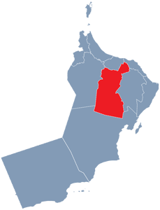
A’Dakhiliya
Situated in the heart of Oman’s interior, A’Dakhiliya Governorate dominates the central plateau and is rich in history, thanks to its role as the land link to the interior regions of Oman from Muscat.
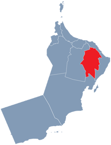
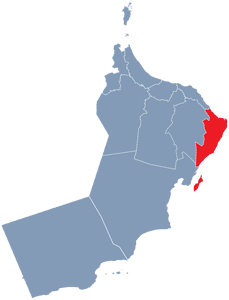
A’Sharqiyah North
A’Sharqiyah North and A’Sharqiyah South were formed on 28 October 2011 by dividing the old province of A’Sharqiyah – famous for the magnificent Sharqiyah Sands, an area of desert and dunes whose iconic landscapes make it a popular tourism destination.
A’Sharqiyah South
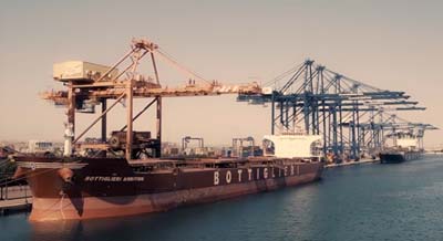
A’Sharqiyah South Governorate lies on the south-eastern coastline of the Sultanate of Oman. It has been a centre for maritime trade and fishing for many centuries.
Al Wusta
Al Wusta Governorate occupies an extensive area in central Oman, linking the north of the Sultanate with Dhofar in the South. This governorate contains a large number of oil and gas wells.

Dhofar
The Governorate of Dhofar is in the far South of the Sultanate and borders the Wusta Governorate to the East, the Arabian Sea to the South, the Republic of Yemen to the West and the Kingdom of Saudi Arabia to the North and North-West.